- Home
- Our Work
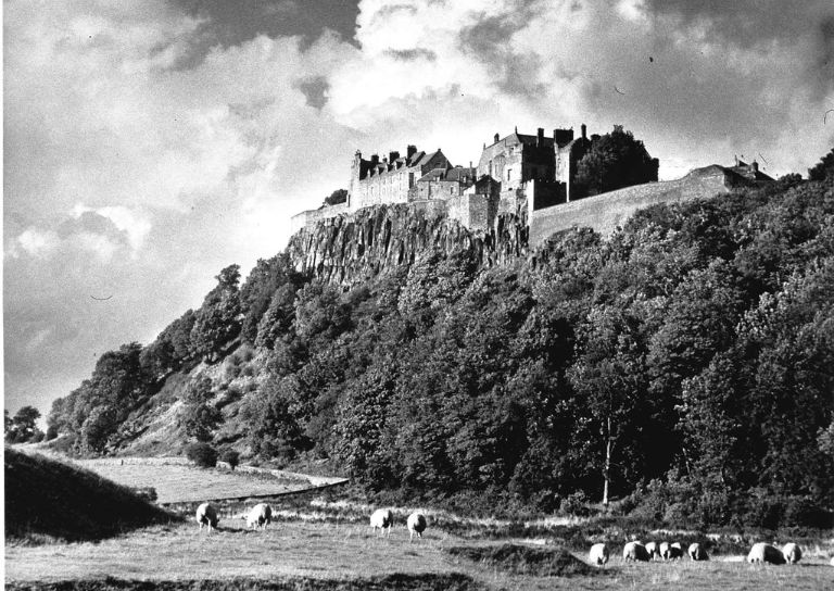
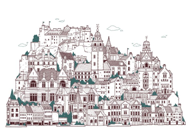
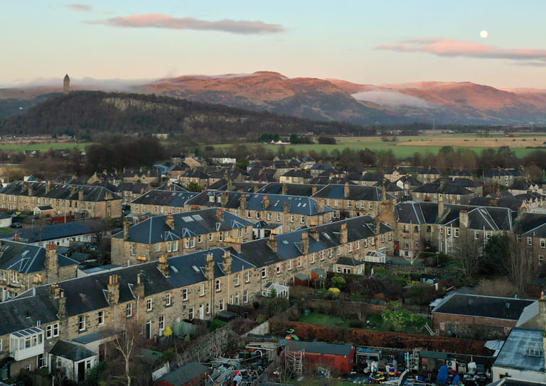
- Stirling's Story

- Blog
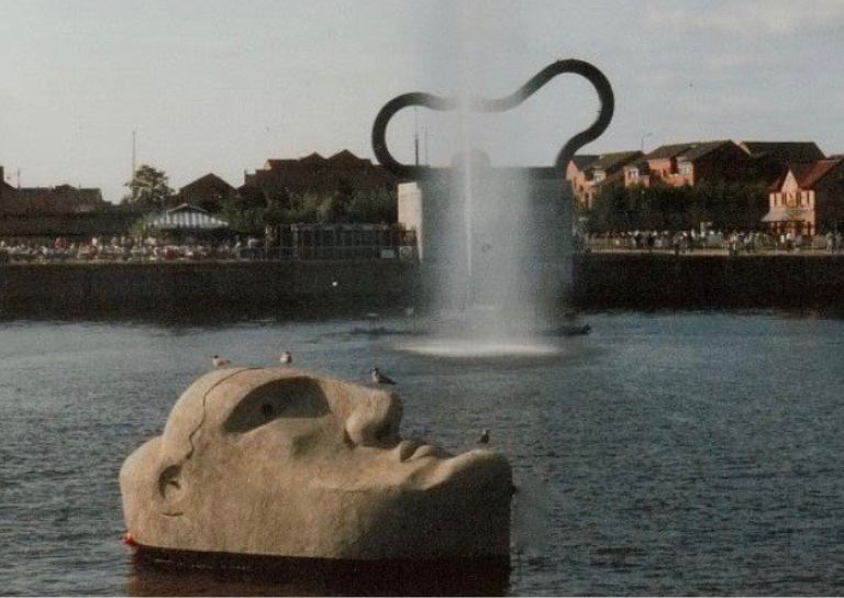
- Floating Head Sculpture at Garden Glasgow Festival 1988
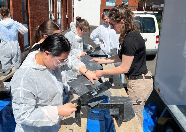
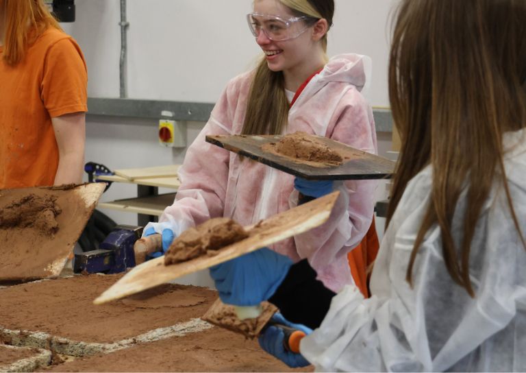
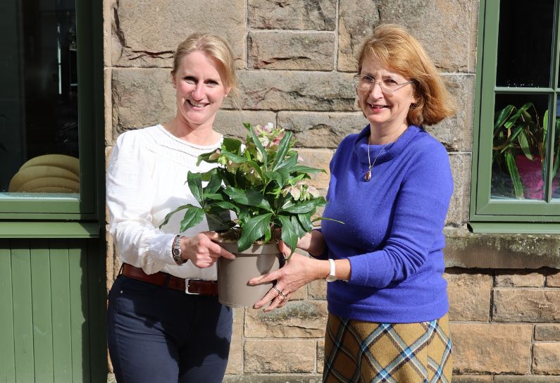
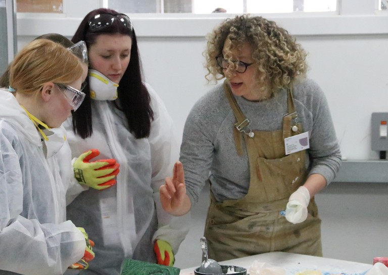
- Inspiring the Future: Stirling City Heritage Trust's Women in Construction Event at Wallace High
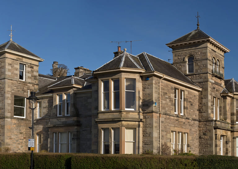
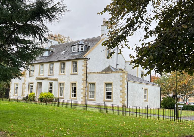
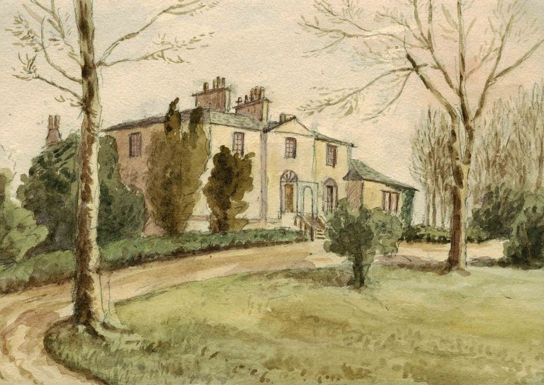
- Beechwood House and the Transatlantic Slave Trade
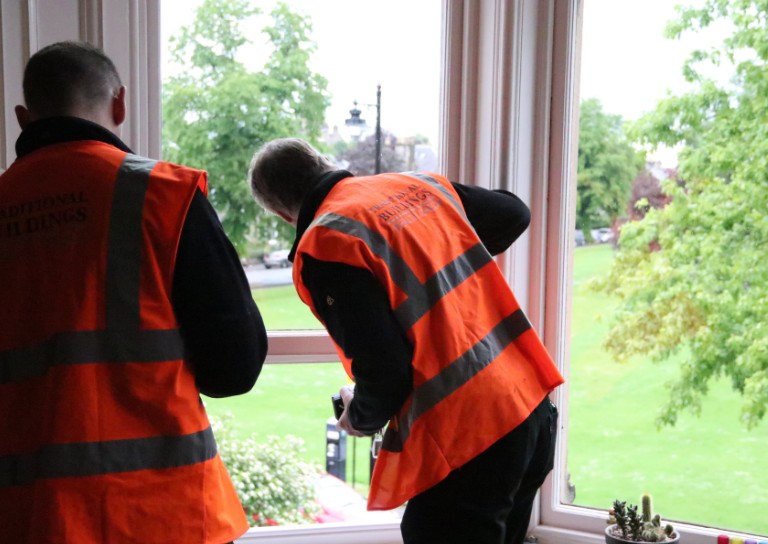
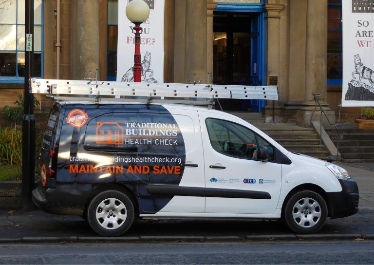
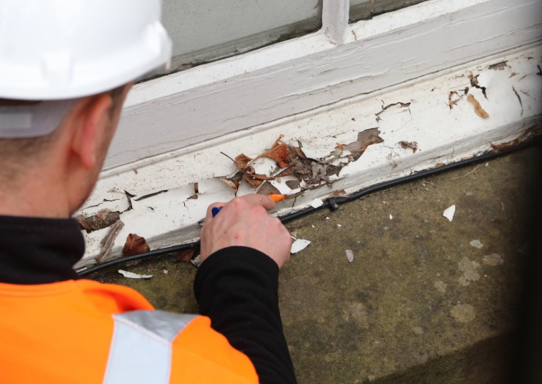
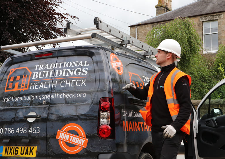
- New Retrofit Service now available for Traditional Buildings Health Check Members
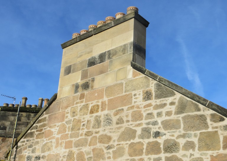
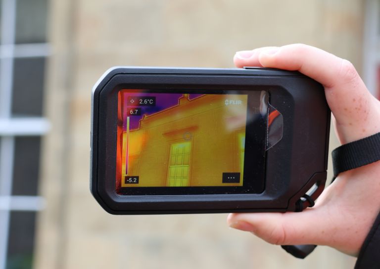
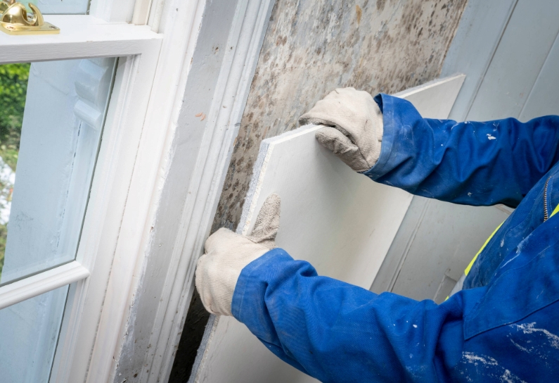
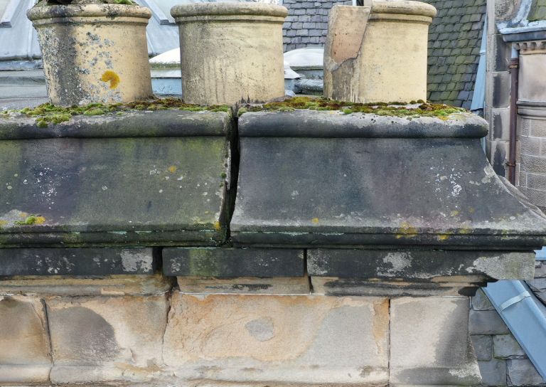
- Retrofitting Traditional Buildings: Chimneys
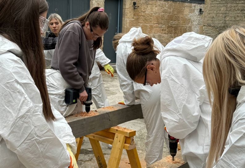
- SCHT 20: Championing Women in Construction
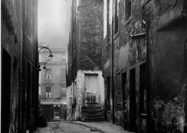
- Stirling's Lost Swimming Pools
- Women in Construction at Bannockburn House
- Avenues to the Past: Stirling’s Historic Streets Exhibition
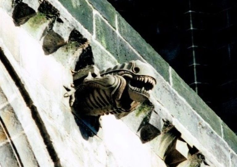
- The story behind Paisley Abbey’s Alien gargoyle
- Doors Open Days Talk: Who Built Stirling?
- Retrofitting Traditional Buildings
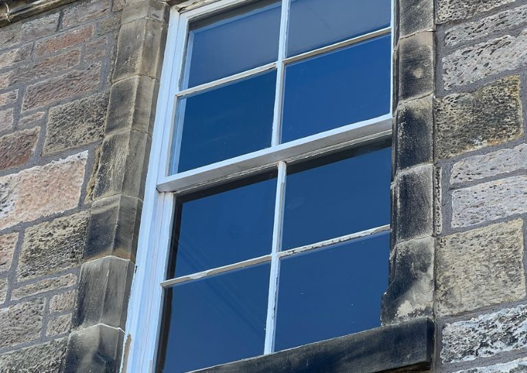
- Retrofitting Traditional Buildings: Windows
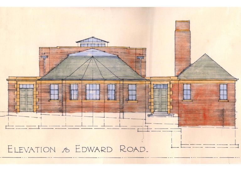
- Statement on Langgarth House
- Guest Blog: Dementia Friendly Heritage Interpretation
- SCHT Grant Conditions: Owners Associations

- Stirling Business Awards 2025

- What is a Conservation Area
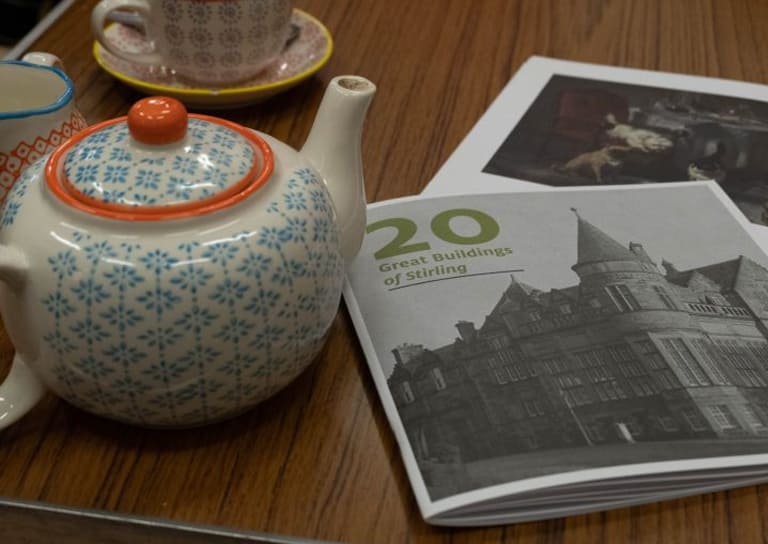
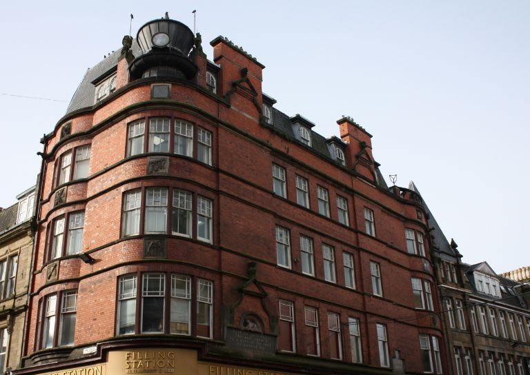
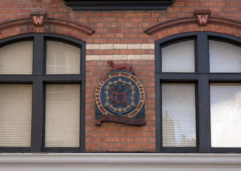
- 20 Great Buildings of Stirling
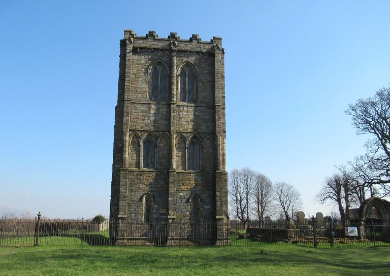
- Cambuskenneth Abbey
- 10 Years of the Traditional Buildings Health Check
- Building Resilience: Maintaining Traditional Buildings
- Architects and The Thistle Property Trust
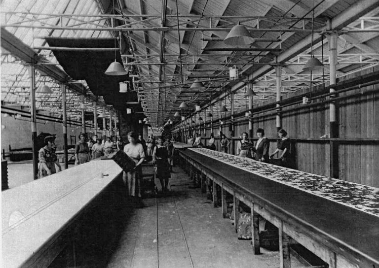
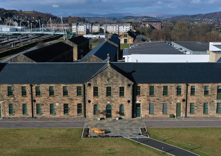
- World Heritage Day: Exploring Hayford Mill
- Community Consultation launched for Stirling’s Heritage Strategy
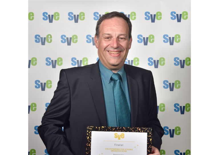
- SVE Inspire Awards September 2024
- Reminiscence Art Project
- On the European Stage: Preserving by Maintaining conference, Bratislava
- The Abolition Movement in Stirling
- Stirling City Heritage Trust Publications
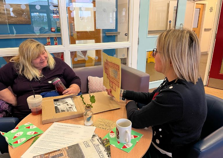
- Growing up in Stirling: A Night of Reminiscence at The Smith
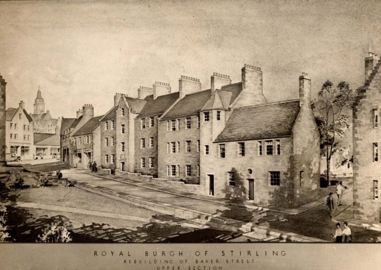
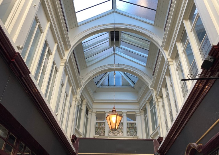
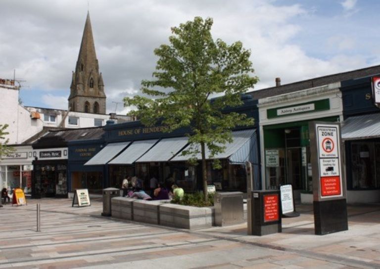
- Shopping Arcades
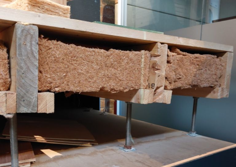
- Retrofitting Traditional Buildings: Insulation
- Retrofitting Traditional Buildings: Climatic Adaptation

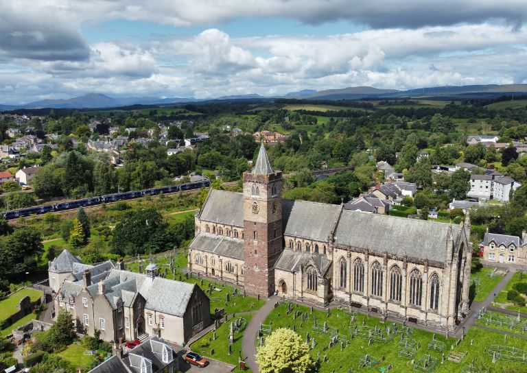
- Kings, Wolves and Drones: 20 years of care and repair at Stirling City Heritage Trust
- Practical Workshop on Retrofitting Insulation with A. Proctor Group
- Marking the 80th anniversary of VE Day
- Walker Family Visit
- Sharing Memories: Taking '20 Great Buildings of Stirling' into the community
- SCHT visit to Brucefield Estate, Forestmill, Clackmannanshire
- Retrofitting Traditional Buildings: Fabric First
- Supporting traditional building repair in Stirling
- Stirling's Historic Jails
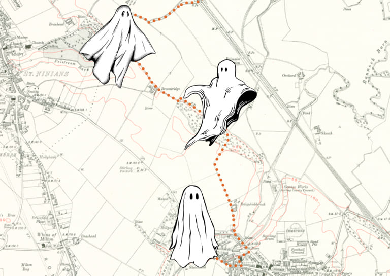
- Ghost Tales from Stirling
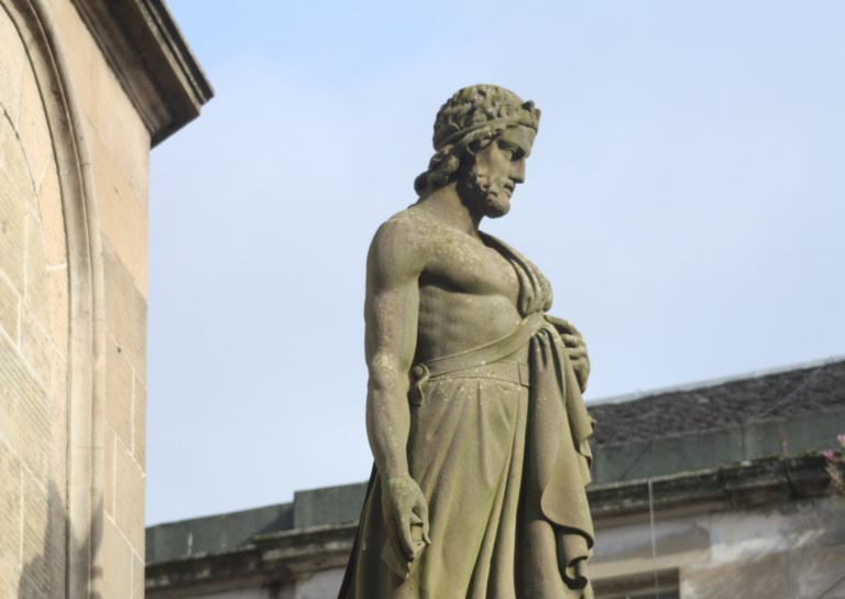
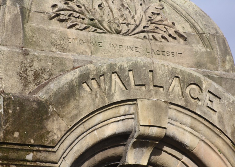
- William Wallace Statues In Stirling
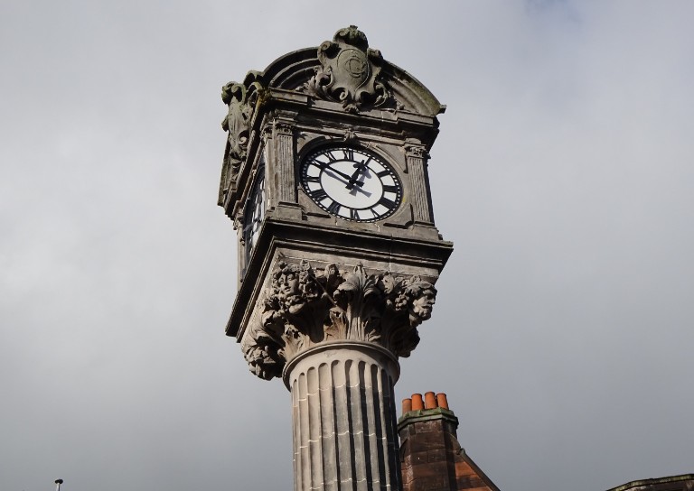
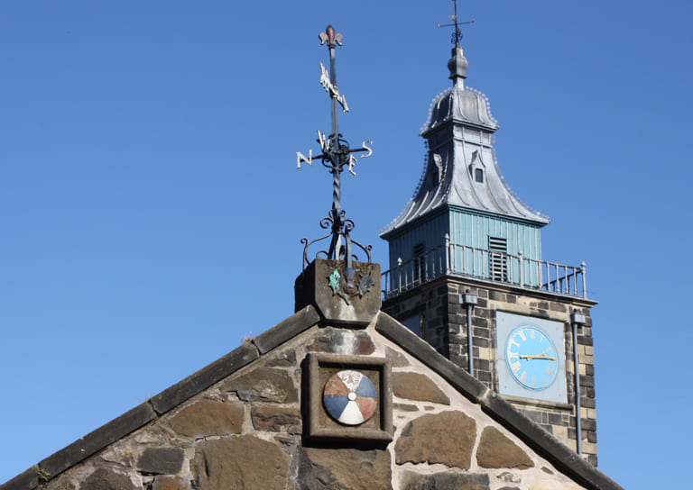
- Statement on Christie Clock
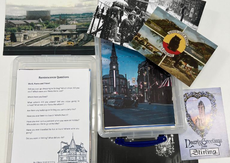
- Stirling Reminiscence Box
- Stirling City Heritage Trust at 20

- Retrofit Event: Meet the Suppliers
- Snowdon House and The West Indies
- Coronations and Royal Christenings in Stirling
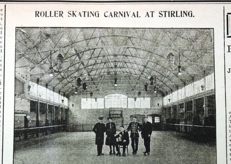
- Stirling’s Lost Skating Heritage
- Miss Curror and the Thistle Property Trust
- Dr Lindsay Lennie retires from Stirling City Heritage Trust
- Stirling’s Streetscape Stories: Photography Workshop
- The development of King's Park
- Level 3 Award in Energy Efficiency for Older and Traditional Buildings Retrofit Course (2 Day)
- Stirling's Heritage Treasures
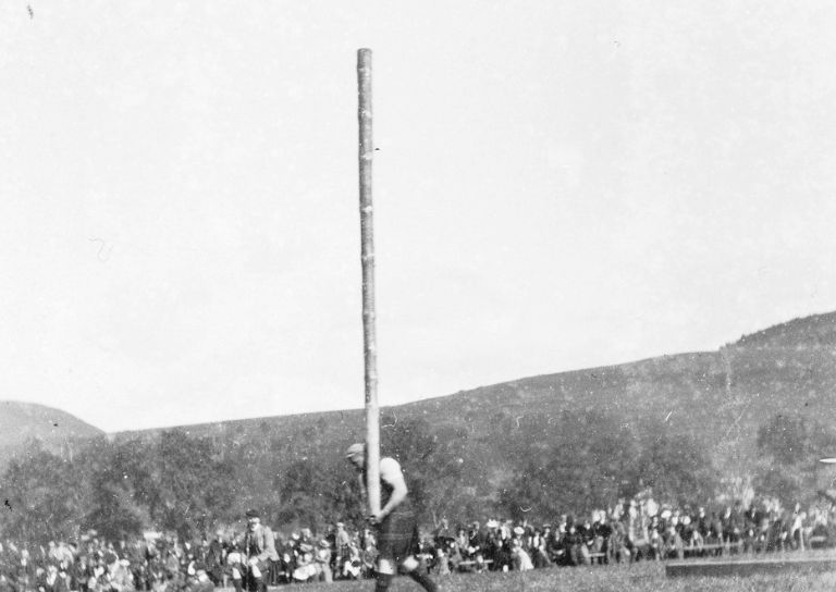
- Stirlingshire’s Highland Games
- Laurelhill House and the West Indies
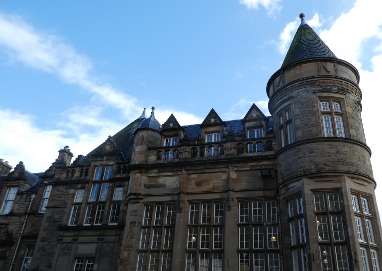
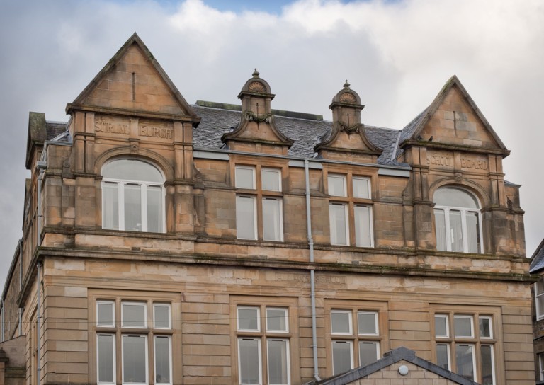
- Stirling’s Historic Schools
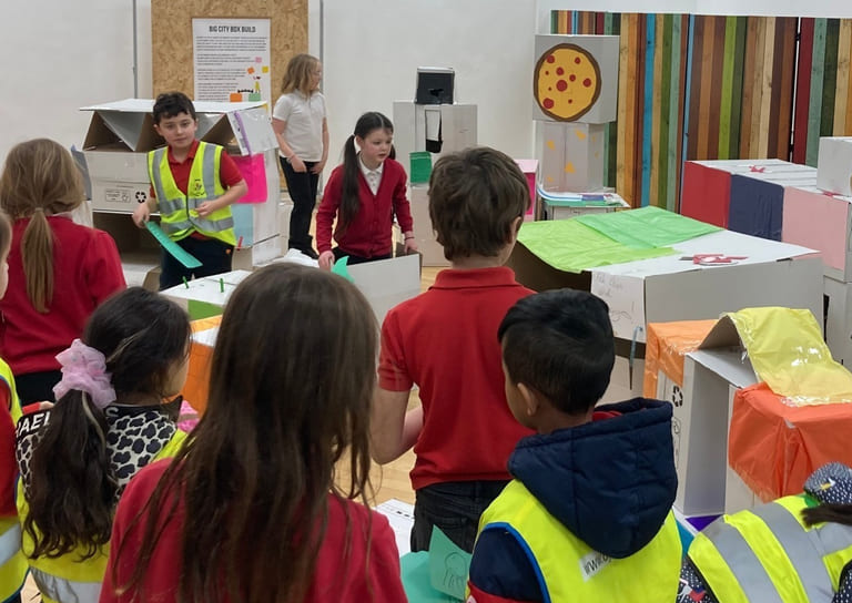
- Creative careers in the heritage sector
- Energy efficiency project awarded grant from Shared Prosperity Fund
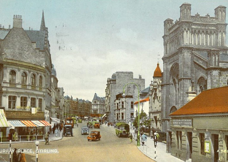
- Postcards From Stirling
- Stirling’s Gala Days
- Building Surveying Student Intern at Stirling City Heritage Trust
- Heritage Trail: Stirling Walks
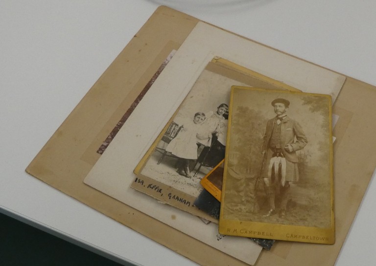
- Local History Resources
- Stirling Through the Decades
- Stirling’s STEM Pioneers
- Traditional Skills: Signwriting
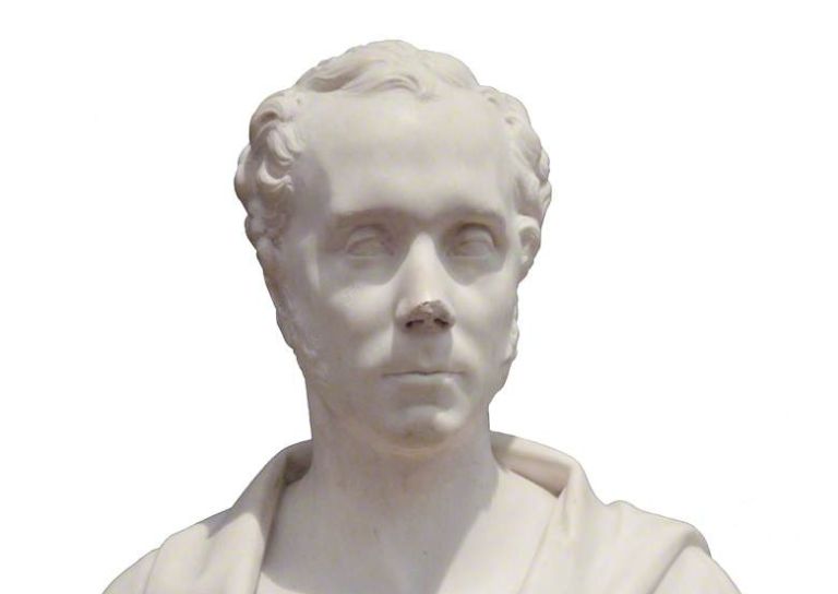
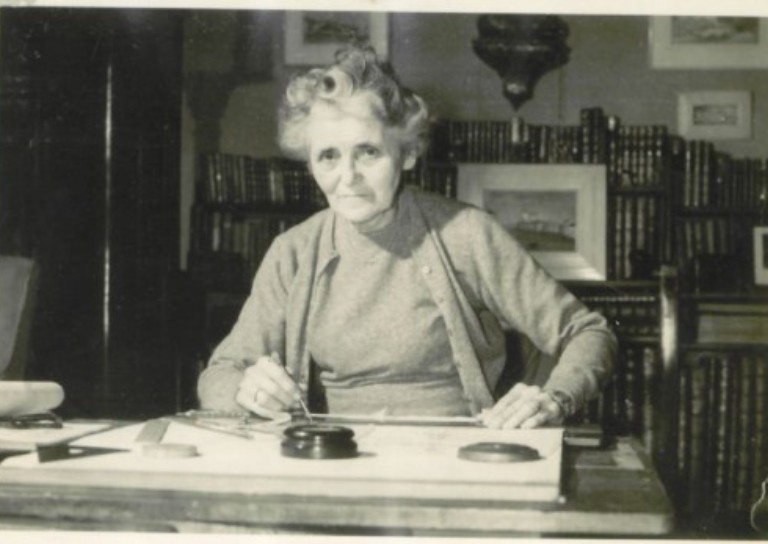
- Christian MacLagan, a pioneering lady, but born too soon?
- Traditional Shopfronts in Stirling
- Stirling History Books for World Book Day
- My Favourite John Allan Building by Joe Hall
- My Favourite John Allan Building by Lindsay Lennie
- My Favourite John Allan Building by Andy McEwan
- My Favourite John Allan Building by Pam McNicol
- Celebrating John Allan: A Man of Original Ideas
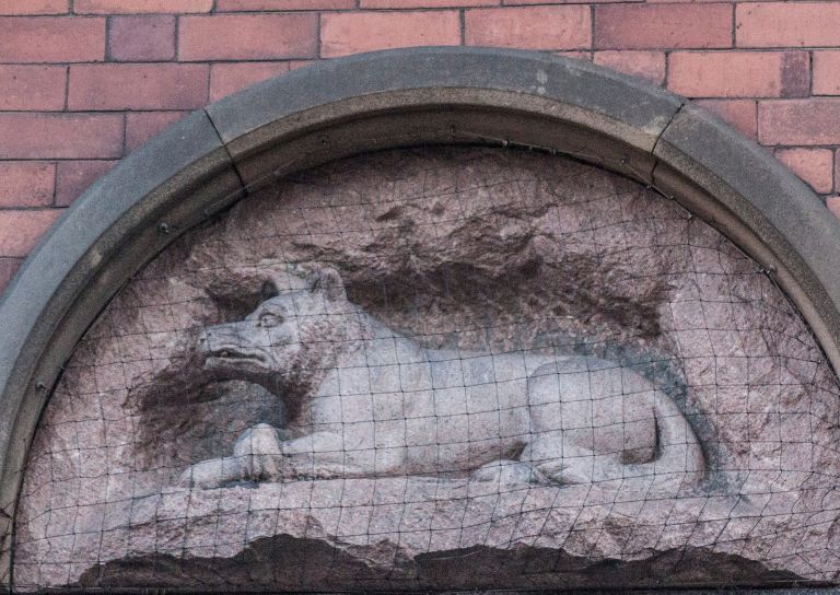
- The Tale of the Stirling Wolf
- Stirling: city of culture
- Christmases Past in Stirling
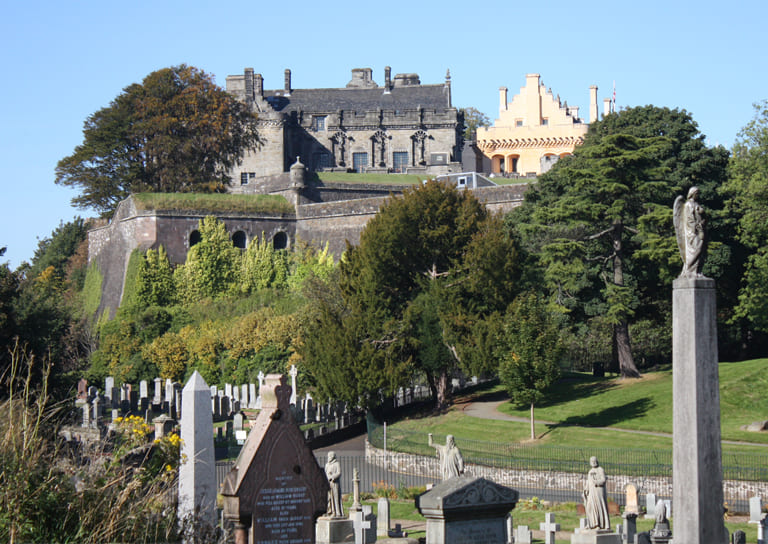
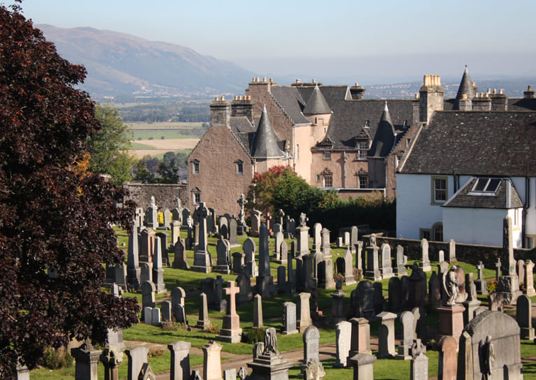
- Stirling’s Historic Graveyards
- Top 10 Tips for Architectural Photography
- An Interview with David Galletly
- Springtime in Stirling
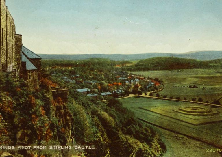
- The Kings Knot – a history
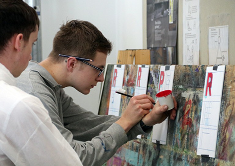
- A Future in Traditional Skills
- Robert Burns’ First Trip to Stirling
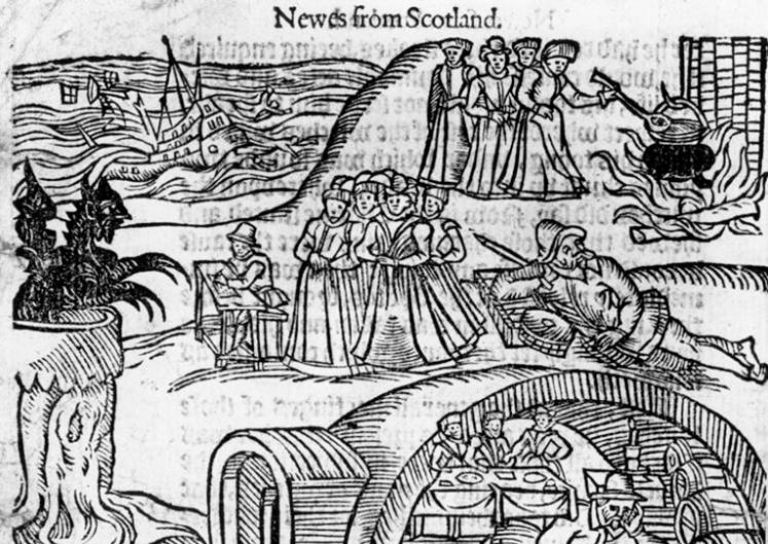
- Stirling’s Witches
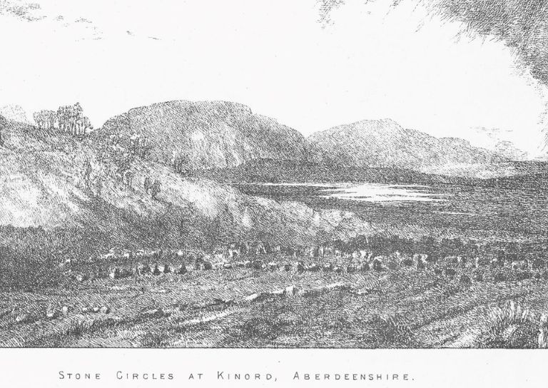
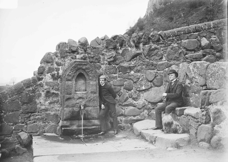
- Stirling’s Ancient Wells
- An architecture student’s take on the City Of Stirling
- Ronald Walker: Stirling’s Architect
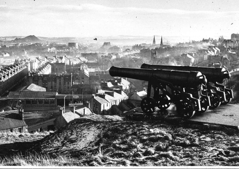
- Stirling’s Statues

- Stirling’s Wee Bungalow Shops
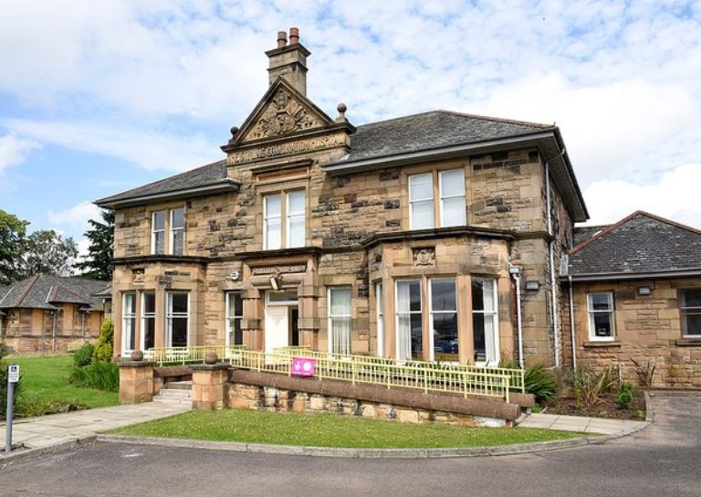
- Stirling’s Historic Hospitals
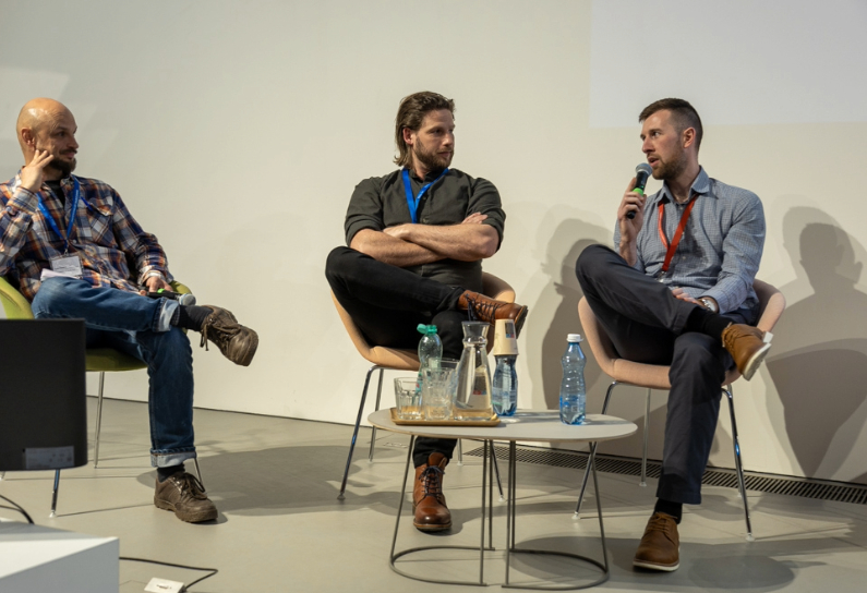
- Women in Digital Innovation and Construction

- Heritage at home: 8 of the best online heritage resources
- Stirling featured at virtual heritage conference
- Five of Stirling’s greatest John Allan buildings
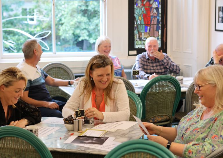
- Women in Construction – Stirling event report
- Scotland’s trailblazing women architects
- Stirling’s Heritage: Spotlight on The Granary
- TBHC Scheme now open to properties in Dunblane and Blairlogie
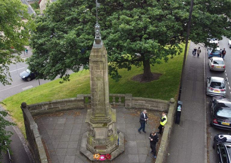
- How drones help us inspect traditional buildings

- Hazardous Masonry & Masonry Falls
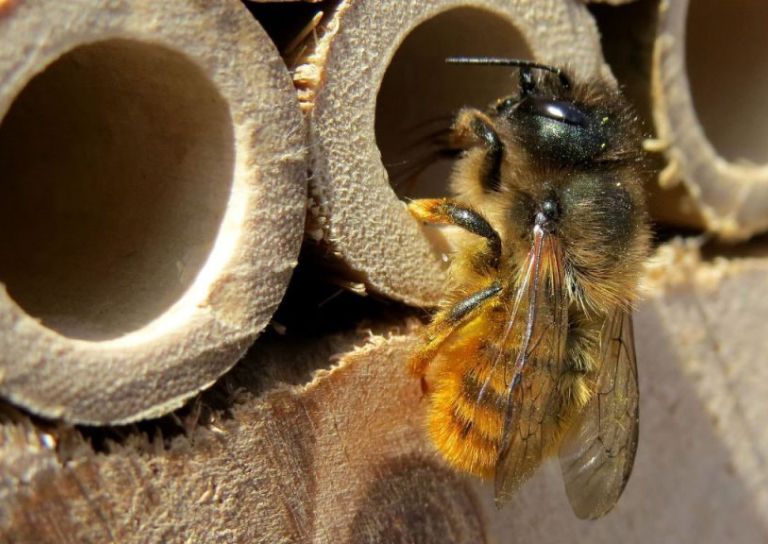
- Mason Bees: What’s the Buzz?
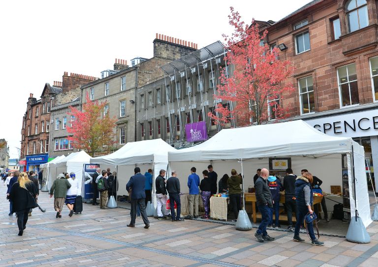
- Stirling Traditional Skills Demonstration Day Success!
- Floating Head Sculpture at Garden Glasgow Festival 1988
- About Us
- Support Us
- Contact


![]()
![]()
Close